Historic sea capes
Vietnam’s coastline stretches 3,260km, from Sa Vi Point (Tra Co, Quang Ninh) to Nai Point (Ha Tien, Kien Giang), creating an S shape that reminds many of a dragon. Vietnam’s long coast is the result of accretion from various deltas and mountain ranges that reach to the sea, especially the Truong Son Range in the Central region. These forested ranges extend toward the sea, splitting Vietnam into different geographic zones with distinctive climates. They also formed historic landmarks during the territorial formation of the country.
Among these historic sea capes is Doc Cape (Quang Binh), where the Hoanh Mountain Range extends all the way to the sea. This location formed a border for many ancient dynasties. For example, Dai Viet and Chiem Thanh were separated by a natural path crossing poetic Ngang Pass.

In reference to the cape’s important role as a border between the land of Lord Trinh (Dang Ngoai – also known as Tonkin or North of the River) and that of Lord Nguyen (Dang Trong – South of the River, also known as Cochinchina), in the 16th century, Trang Trinh Nguyen Binh Khiem wrote: “Hoanh Son nhat dai, van dai dung than” (A horizontal mountain range can be a lifelong guard). The cape witnessed significant and turbulent historic events.
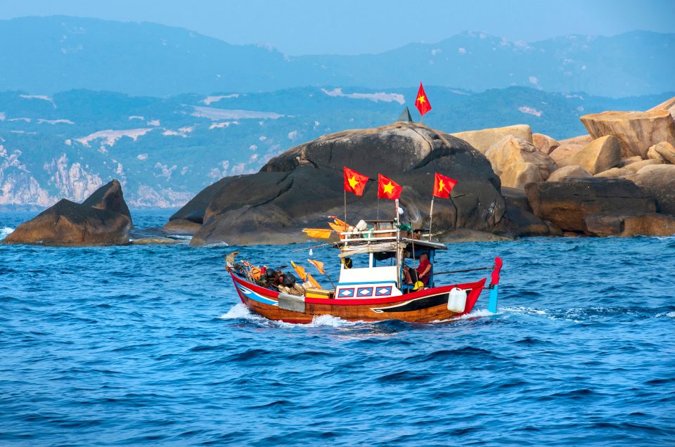
As Vietnamese culture spread southward, progress was marked by sea capes, partly because of the Central region’s geography, where narrow plains alternate between mountain ranges. Residential areas are separated by capes that protrude toward the sea, while the natural path along the country embraces the twisty coastline, forming magnificent ocean passes such as Phuoc Tuong, Hai Van, Cung Mong, and Ca. The breathtaking winding passes along the coast serve as landmarks where the sky meets the sea, such as Hai Van Pass – “the most imposing gateway” near the sea – the last point of the Bach Ma Range that runs from Truong Son toward the sea. Hai Van Pass forms a solid wall that blocks seasonal monsoon winds from Northern Asia. Thus, heading south from this pass, winter is less severe than in the North.

Facing the winds and waves at the country’s far ends, some capes have become landmarks of the nation’s borders. For example, Doi Cape on Gom Island (Khanh Hoa) is acknowledged as the country’s easternmost point, while Ca Mau Cape (Ca Mau) is the southernmost point. Each year, Mekong Delta silt continues to accumulate here and extend Ca Mau Cape further into the sea.


